Local Climate Adaptation Tool
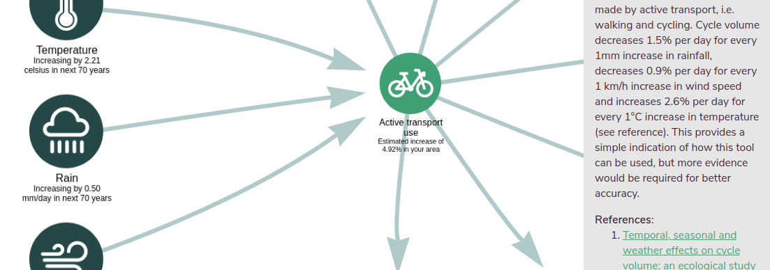
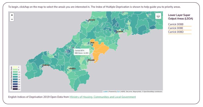
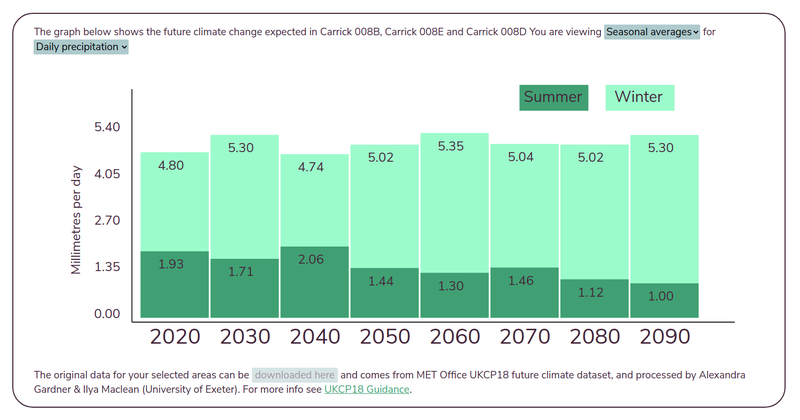
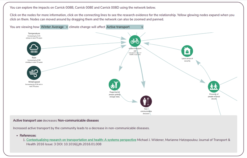
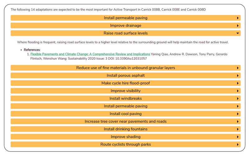
We've worked with the European Centre for Environment and Human Health at the University of Exeter, Cornwall Council, the NHS and emergency services to design and build a tool for local government and public health professionals to explore climate change forecasts, together with health and well-being impacts, and adaptation suggestions. We hope this will make it easier for people to form their climate adaptation plans. You can try the prototype here.
An earlier prototype we designed and built was exhibited at the United Nations Climate Change Conference COP26 (Glasgow 2021, Green Zone) and was Highly Commended in the Climate Challenge Cup. In 2022 the team received funding via Research England (Policy Support Fund) and the Schroder Foundation to develop the tool further to include climate data for most of Scotland, Wales and England (rather than just Cornwall), more climate impacts (focused for now on the impacts of increasing heat) and adaptation suggestions, and a new section highlighting local vulnerabilities - this was released in late 2022. The project was then funded to include the impacts of flooding and coastal pathogens under the new Horizon Europe BlueAdapt project.
The tool is free and open source as always.
