Playing with voxels: A 3D journey through urban green space forms
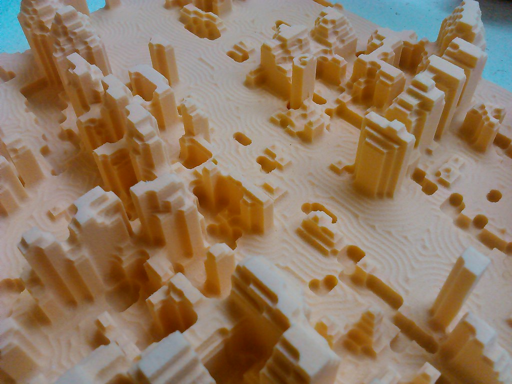
Join us for a talk on our Greenspace Voxels project at the Environment and Sustainability Institute. We have been visualising cities in 3D using minecraft and physical models, using voxel data from full-waveform LiDAR (laser scanning landscapes from aircraft). We are looking at ways to visualise only the greenspace in cities, with all the buildings and roads removed - for environmental connectivity research and more thoughtful urban planning.
Karen Anderson, a researcher who uses unmanned aerial vehicles for environmental research, will introduce the project 'F3UES', waveform lidar, voxels and suburbia. Stefano Casalegno will explain the complexities of visualising 3D data, and give a taster of his work so far on connectivity using 2D rendered summaries of the voxel data. FoAM Kernow (now Then Try This) will be demonstrating some of the ways that we can visualise these data in tangible and digital forms - including a space where participants can play with the models in minecraft.
Lunch will be available for all, from 12:00, provided by the Environment and Sustainability Institute. The talk will begin at 13:00 and end at 14:00. The models will remain in situ from 16-30 Nov 2016.

